Sunk or Skunk in Salisbury
At this point in our boating career, planning a launch still feels like a staging military operation. For days beforehand we’re scrutinizing aerial maps and combing Google reviews for intel about ramp conditions and parking. There are multiple checklists before we leave the dock (food, water, life jackets on board, ratchet straps off, plug out, motor trimmed up, etc etc) and yet we usually manage to forget something.
Our first criteria in choosing a port of departure is not the scenery or even the fishing (Ben might disagree) but the quality of the boat ramp.
Salisbury Beach State Reservation quickly became a favorite destination because it has, in Ben's words, “a proper boat launch,” unlike Rockport, where we found out the hard way that you can’t trailer anything larger than rowboat at low tide, not to mention the grade is uneven and there’s nowhere to tie up your boat while you park the trailer.
Not only does Salisbury State Reservation have a proper boat ramp, but it’s a two minute drive from a proper state campground. It also has two proper beaches, which is what most people come here for.
Salisbury Beach stretches from the jetty at the mouth of the Merrimac River all the way to the New Hampshire border. The southernmost stretch is part of the reservation, and completely undeveloped, except for bathhouses and life guard stations. The northern section, which we haven’t explored yet, belongs to the town of Salisbury and has a low key board walk, bars and restaurants.
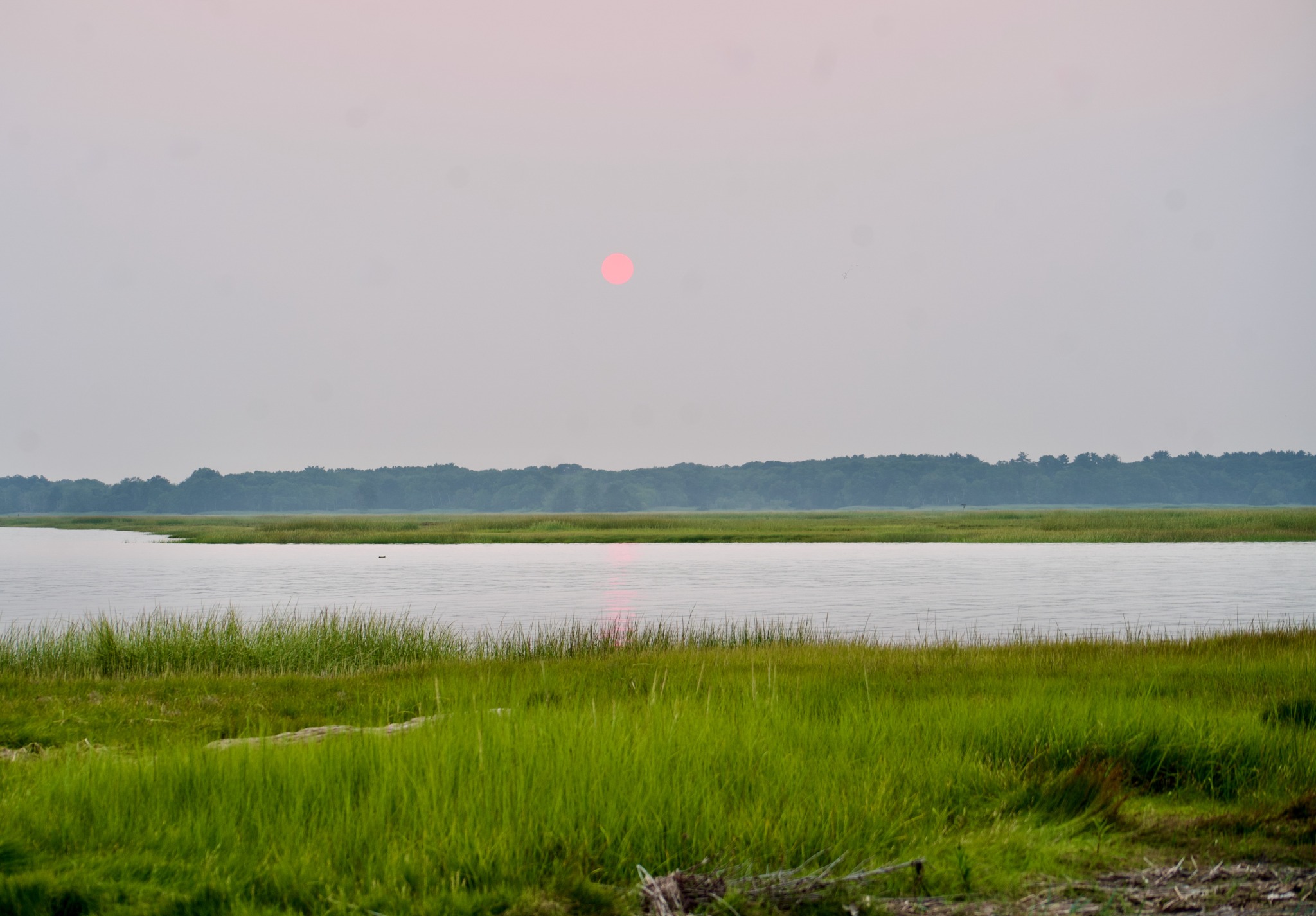
Then there’s the wild strip of sand along the Merrimack, just before it empties into the Atlantic. Maybe not everyone would consider it a proper beach; but I loved the little winding footpaths through the beach grass and wildflowers, the pebbly beach and tide pools of pockmarked limestone. When we arrived the Canadian wildfires were still raging, giving everything an eerie orange cast.
At the southern mouth of the Merrimack, bottom lip, you could say, is Plum Island. This 11-mile barrier island is mostly protected wildlife habitat. The deserted beaches beckoned, but leaving our boat anchored offshore still feels a little advanced.

The mouth of the Merrimac is not always so friendly, as we saw the next time we went out. The massive influx of water over the shoals and sandbars is notorious for generating big swells. That day, the swells didn’t get any better beyond the jetties, so we turned around and headed upriver to Newburyport instead. Approaching the village from the water, the white steeples rising behind the docks and the old brick factory buildings, I imagined it would have looked much the same a century ago.
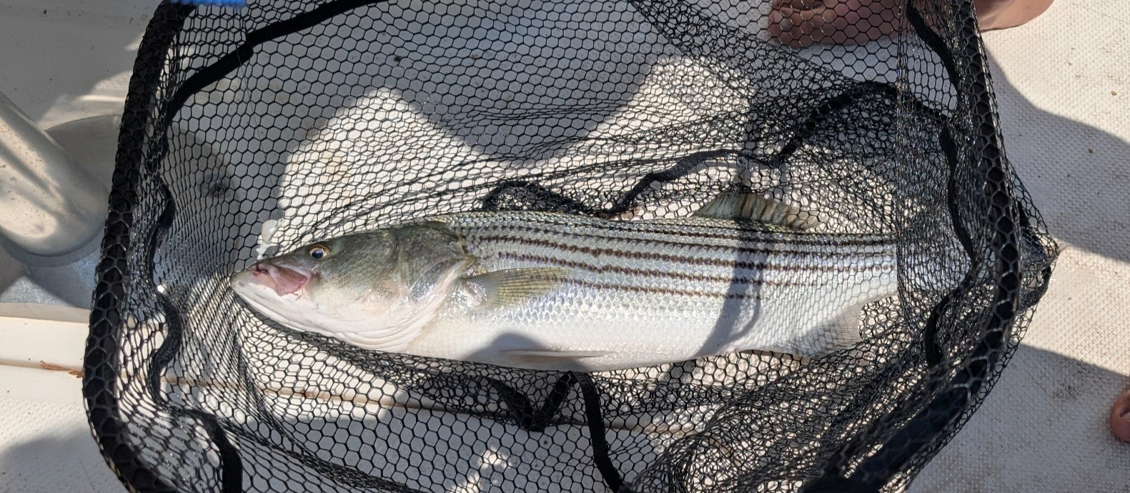
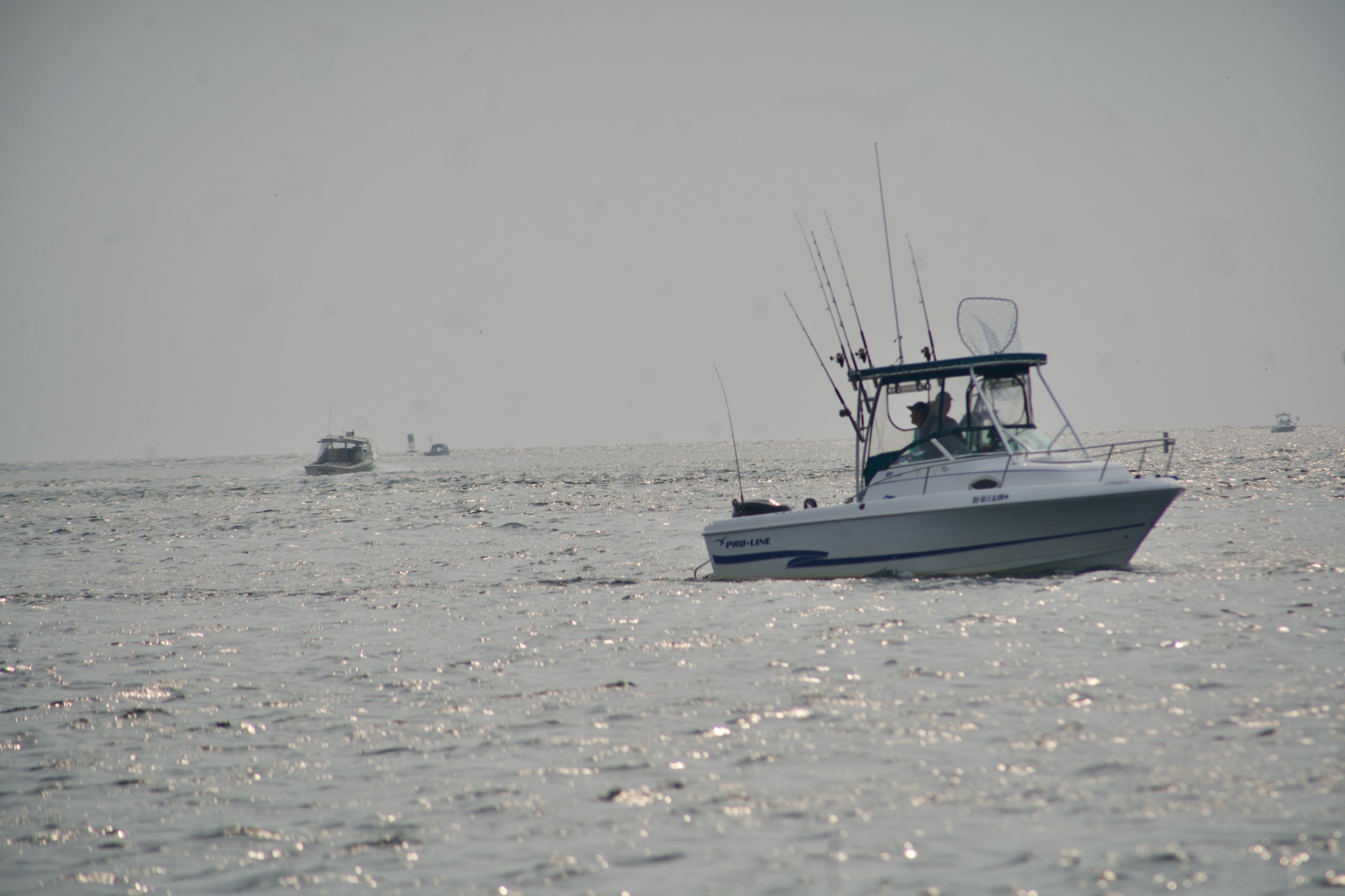
By the next day the conditions improved enough to go fishing. We drifted back and forth between the north jetty and the state reservation beach – the Salisbury Triangle of Bass Fishing Disappointment. Gay umbrellas dot the sand and beachgoers innocently frolic a few hundred feet away fishermen pursue 27-31-inch-long stripers as if they were Moby Dick (anything bigger or smaller is illegal to keep). We didn’t catch one until our very last day, on our very last drift. And no, I don’t have video, because I had to net the fish while Ben reeled it in.
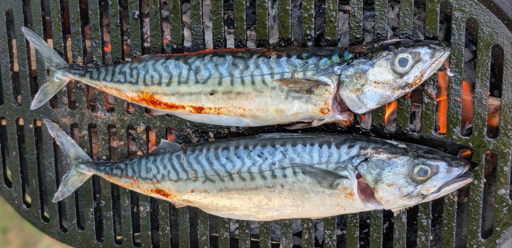
I do, however, have footage of him landing a little mackerel. People mostly use them for bait, but they are underrated for eating, mild and flaky. Best of all, they have no scales, so they’re easy to prep.
Next up, Rocky Neck Connecticut. We just bought a mount for the insta 360 to secure it to the boat railing, so hopefully we can document the next big catch like real influencers.
Post a comment